Showing posts with label Gaia GPS. Show all posts

Monday, July 4, 2016

Easyish Hike to the top of Carpenter Mountain near Blue River, Oregon


Carpenter Mountain

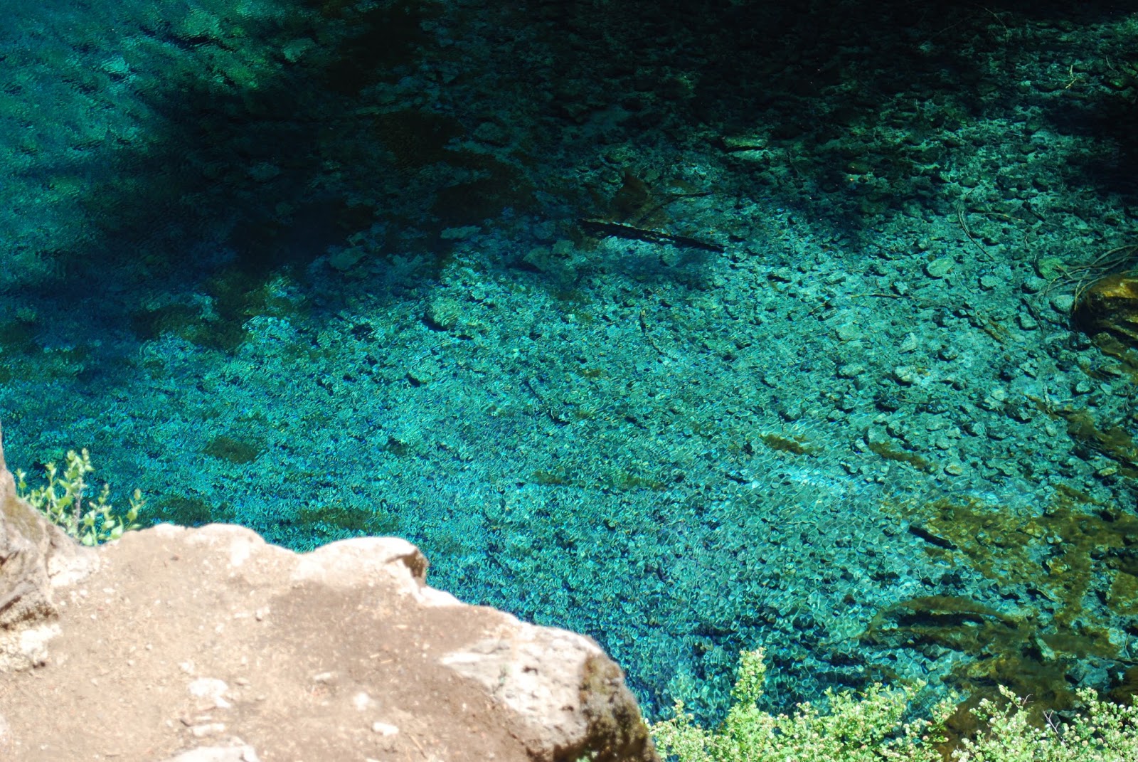
It wasn't the best day to go to Carpenter Mountain, but we did it anyway! It was an amazing day and there are some crazy pictures that we wouldn't have gotten on a bright clear day. The path was really quiet and we only saw one other couple there. Who else would go to a viewpoint hike on such a cloudy, miserable day! We did get some really cool pictures, but I don't really suggest going to this hike on such a crappy day. We got drenched! It wasn't raining, but the path is very narrow and it's overgrown with bushes. All of those bushes were wet from the previous rain and also just from all the moisture in the air. If you do decide to go on a miserable day, make sure you pack extra clothes! 


So the book said this was a 2.2 mile hike with 900 feet of elevation. We were actually planning on doing a different hike, but they were actively logging that mountain. We could have waited 20 minutes for them to clear the road, but then we could have gotten stuck at the top of the mountain! We decided to bail on that and go to the hike that I actually wanted to do, but didn't think we could do since 900 feet over 1.1 miles sounded steep! I really wanted to try out our new Subaru Forester though and the book said something like "the increasingly rough road." It made me want to do this hike just to play with the car! The car did great on it! We did pretty well on the hike also. 


There's not much to say about the hike. My Polar M400 thinks the hike was only .8 miles up, but the book thinks it was 1.1. I'm not going to argue over the distance. The book said 900 feet, but it didn't feel like 900 feet. We must be getting better at this stuff. We stopped to take a bunch of pictures, but we didn't have to stop many times for breaks. About halfway up, there was a big field with a bunch of wildflowers. It was gorgeous. They had a bunch of hummingbird feeders which seemed odd, but whatever. Hubby saw a hummingbird, but I didn't. The path was really narrow in some spots, bu wider in others. The bush ground cover was probably the first third of a mile, but after that, it was wide enough to get through. 


There's a lookout tower at the top of this thing. I would not want to spend the night in this thing! There's an outhouse, but you have to walk down a scary rock to get to the outhouse. No Thank You! The lookout tower is on the tippy top and to get there, I pretty much crawled up this rock. To get down, I sat on my butt like a toddler going down stairs. It was sooooooo scary for me! 


We loved this hike and we didn't have many problems with it, but if you're just starting out, you might not want to try this one right away. I would also suggest bringing hiking poles for hiking newbies. The top of this thing is seriously scary. Hubby wasn't afraid, but I was! Maybe it's because I keep remembering the time when we went to some mountain and there was this patch of snow. We had to climb up and over it. I went up and almost went over the mountain. I ended up falling and then sliding. Not sure how I managed to stop sliding but I did. Then I was sitting there in the snow thinking, "How the hell am I going to stand up and not fall over this mountain?" I do okay with the up, but I bet nervous on the down. When you're going up, you have the opportunity to try your footing with the foot before you pick up the other foot, but when you're going down, if you miss step, there's not much you can do. The poles help though because you can poke around with the pole to find a good spot and then you've got three points of contact with the ground instead of just one. 


How to get there

If you want directions there, follow this link to traveloregon.com. I'd just end up getting you lost and I don't know if it's okay to copy their directions on here. It's way easier to just link to them.


Overall Comments

There were no restrooms at this location and it's a nice bumpy road there and back. Make sure you find someplace to pee before you go up there and find a quiet place off the path to take care of things before you get to the car. I tagged this as Easyish and the book we used called it Easy. We didn't need to stop for breaks very often and I wasn't in my pain the following day. My calves were sore, but that was it. However, another website tagged it as "very difficult." I wouldn't go that far, but maybe they are trying to keep people safe. This is one of those hikes that isn't really all that easy to classify. I'm 265 pounds and made it up there, but I've been working out and hiking frequently for the past couple years. Use your own judgement on if you think you can handle it. Don't do anything crazy and make sure you wear good shoes. Don't go up there in flip flops! 


Polar M400 Screen Shots

I forgot the heart rate strap. Oh well. The Polar M400 agreed with the book on the elevation. That's a first! 


Gaia GPS Screen Shot

Gaia thinks the hike was a little longer than my Polar M400 and had a little less elevation. I will say though that I know I never moved 4.2 MPH on this hike and it seem to think I did so there's obviously a flaw with it somewhere. 


Sunday, June 12, 2016

Easy Hike to Blue Pool on the McKenzie Pass


Blue Pool

We couldn't decide where to go for a hike, so we went back to Blue Pool. We did this hike back in 2014. We really liked it. I was bummed because we didn't see a waterfall then. The book shows a picture of a waterfall, but apparently there's a dam that makes it so there's no more waterfall. 


The hike itself is pretty easy, but the terrain is a bit rocky. I kept tripping over rocks. We decided not to bring our poles since we both remembered it being a fairly easy hike, but I was kind of regretting not having my poles because I almost went face first a few times. I never did actually fall, but there was at least one time that I thought I was going to end up landing on my hand and that was going to hurt. I might need to start wearing gloves when I hike. My skin is so sensitive and I'm such a wimp when it comes to bruises. 


The parking lot isn't that big for this hike, but there's a lot of space that people turn into parking spaces on the road. This is a very popular hike. Bikes can also go down this path. I don't think they can go up it though. I'm not really sure of the whys on that, but I think those are the rules We had to pull over a lot to let bikes pass and several times to let people pass since the path isn't really wide enough for groups of people to pass each other. We got a late start on the hike too so a lot of people were coming down as we were going up. 


There are two bridges on this trail. They can be a bit slick so be careful. I'm not sure how many feet in elevation this hike has because both of my apps differ and they different from the book as well. I do remember going up this thing thinking that I shouldn't have found this hike to be Easy back in 2014. It wasn't hard, and I had no problems with it this time, but two years ago, I feel like I would have found considered it Easyish which means easy for fit people and a little challenging for those of us who are 100 pounds over weight. This time around, we didn't stop to take a breather going up. We stopped for pictures, but we never stopped because we just couldn't continue anymore. I guess that should be considered easy.


The terrain made it a bit tiring though. Way too many rocks to trip over. There was also a big tree that had fallen over the path. People had made their own path around the tree, but going over the tree wasn't really an option for us. The path around the tree was easy enough on the way up, but on the way down hubby had to help me a little bit. So the giant tree fell over the main path, but there was also a small tree or a branch off the big tree I'm not sure which that you had to climb over to get back out. On the way up, it's just a giant step down. Down is a lot easier than a giant step up since gravity helps you go down and it doesn't hep you go up. I took too long trying to decide if I could do it so hubby just stuck his hand on my butt and pushed. I kinda wanted to see if I could do it on my own, but that's what I get for taking too long. 


Overall, this is a great hike. I wouldn't go wearing flip flops and I wouldn't take toddlers unless you've got them in some sort of carrying device, but it's an awesome hike. There were people jumping into the pool while we were there which created some extra entertainment. If you want pictures without people in them, you might want to get there super early. We've been twice though and both times people were on the ground by the pool. If you want to get down there, you either have to jump in, or you can keep going past the pool and then follow a trail around the pool and then down to the pool level. We didn't do that. We'll probably do that the next time we are there. 


Polar M400 Screen Shots

I forgot my heart rate monitor at home, so it's just the GPS stuff this time. I'm pretty sure the elevation is a bit screwed up on this since I know we didn't go 840 feet up. 


I'm not really sure why this looks like it does. That spike at the halfway point shouldn't be there and the beginning part should look more like the end part or the end like the beginning since it was an out and back. This is what drives me crazy about all of these devises! 

Gaia GPS 

Here are the screen shots from Gaia GPS. The elevation looks a little bit more realistic on this one. However, it still shows that I went up higher than I came down, but it was an out and back. I walked up and then I walked down. It should be the same up and down. The max speed of 8.1 is not accurate either. I can't even run that fast. 


Monday, August 17, 2015

Challenging Hike to the top of Tumalo Mountain in Bend, Oregon


Tumalo Mountain

We had a three day weekend so we didn't have to cram our hike into a trip to the valley! YAY! We went to the valley on Saturday, hike on Sunday, and did grocery shopping and meal prep on Monday. I didn't work at my day job and I didn't edit for my second job! I didn't work for three days! I did update the blog and I did do food prep, but pretty much everything I did, I did for me or hubby! It was amazing! I'm sure I'll have guilt later. Anyway, hubby decided that our hike would be up Tumalo Mountain. I'm not really sure what he was thinking! It's a mile and a half up hill! (Turns out it's longer than that, but what's a half mile among friends!)


How to get there

The trailhead is at the Dutchman Sno Park on Cascade Lakes Highway. If you're heading from Bend, it's just after the first Mount Bachelor entrance. It's on the right. The parking lot is fairly large, but it's still a good idea to get there early since it's a very popular spot!


The Hike

There's not a lot to say about this hike. It's about two miles uphill. The book said that it was 1.75 miles. The trailhead said that it was 1.5. Our GPS watches said that it was 2 miles. The book said that it was 1200 feet in elevation. Gaia GPS shows that it was closer to 1400 feet. What's 200 feet among friends though! 


The trail is a relatively narrow trail for most of the hike. Most of it is also on that loose sandy ash that we're not fans of. I'm tired of coming back from a hike with filthy feet! I need to wash my hiking boots after all of these ashy hikes! I'm not sure how we keep picking hikes with this miserable terrain. The first half of the trip up has some good tree cover and then it's pretty much out in the open. We got some interesting burn patterns. There are parts of this hike that are pretty steep. It started out steep and then was somewhat decent, but then it got pretty steep at the end. We stopped a lot on the way up. There's not that much to look at on the way up. The views from the top are worth the trip. On the way down, you get to see Mt. Bachelor a lot. 


We got there at 8:00 in the morning. It was 41 degrees! I was sooooooo cold to start out, by the time we got to the top, it was warming up a bit, but it was pretty windy up there so I was still pretty chilly. On the way down, the wind wasn't as bad and I started to get a bit warm. I'm glad we went as early as we did. We didn't run into many people on the way up, but we ran into a lot of people on the way down. I would not want to do that hike in the heat of the afternoon sun!


From the top, you get amazing views of the two of the Sisters and Broken Top. From a different angle, you get an amazing view of Mt. Bachelor. The views really were worth the trip up there. At the start, we said we were going to make it to the top of that thing if it took all day. On the way down, we kept thinking, "How the heck did we make it to the top of that thing?" There were some crazy steep parts to this! Without our poles, I doubt we would have made it. 


Overall Thoughts

We were happy that we did it, but we have no huge desire to do that one again! There are some amazing views up there, but it's 2 miles uphill and some of it is pretty steep! It's also a fairly busy trail head. There's not much to look at along the way to the top. It was pretty similar to climbing to the top of Black Butte, but I was in much better shape, so it wasn't as torturous to me. It would be nice to get up there when there was still a lot of snow on the mountains, but the top of this thing is only about 1300 feet below the top of Bachelor, so timing being able to get to the top of Tumalo while Bachelor still has snow all over it, might be a bit of a challenge. We might try and figure that out next spring though to see if we can get some snow covered shots.


Restrooms

There is a single stall vault toilet at the trailhead. 

Polar M400 Screen Shot

Here's the map of the hike from my Polar M400. 


Gaia GPS Screen Shot

Here's the elevation chart for Tumalo Mountain from Gaia GPS.


Easyish Hike from Round Lake to Square Lake on the Santiam Pass in the Central Oregon Cascades


Round Lake to Square Lake

Several weeks ago, we decided to go to Square Lake. It was in one of the books as a 4 mile hike with a decent level of elevation for us to do it. This book, said to start out at the PCT trailhead near Santiam Pass Summit. We got there and soon realized that there was no way we were going to finish this hike in the amount of time that we had allotted for it, so we turned around and went to our appointment. It was a bit of a disappointment that we never made it to the lake. While doing some research on hikes in the area, I discovered a different way to do this hike. If you start out at Round Lake, it's a mostly flat hike according to the newspaper article I read. YAY! We decided to give it a try.


How to get there

Take HWY 20 west of Sisters. Turn right onto Rd 12 which is also named Jack Lake Road. After about a mile, turn left onto Road 1210. The day we went, there was a sign that said Round Lake. We actually saw that sign before we saw the Road 1210 sign. About 5.5 miles later, turn right at a sign. The sign indicates that there is a Trailhead and a Christian Camp down there. Make sure you look to the right and get some pictures of the mountains over Round Lake, It's gorgeous there. Park on the left near the trailhead marker. There isn't much parking available here, but we didn't see many people, so I don't think it's a busy place.


The Hike

We signed up for this hike because it was supposed to be relatively flat. However, we quickly discovered that the hike starts off going uphill. I wasn't in the mood to go uphill, but we did it. It was more of that sandy ash stuff that we've been hiking on lately. We're not fond of this stuff. Not fond of it at all. The stuff gets in your shoes and through your socks and it's just disgusting, but this was our second attempt at going to Square Lake and even though my glutes were not wanting anything to do with this uphill madness because of the Rockin' Body Booty Time workout that I had done the day before, we stayed and we did it.


The first third of a mile was all uphill. There were some parts that were steep and some parts that leveled out a little, but for the most part, it was a third of a mile uphill. Once we got through that part, it was a very gentle uphill until we got to the lake. We actually got to the lake earlier than we had anticipated. The book and the newspaper article had said that it would be 2 miles, but we got there in under 2 miles which made us happy! 


The terrain was mostly the sandy ash and the path was pretty narrow for most of it. There were several spots where we got some nice pictures of Three Finger Jack. The lake was large and rather scenic. There were a bunch of fallen trees in a bit of a clearing which made it a nice spot to take a small break to have a snack. 


This was an out and back hike, so after we took our break at the lake, we turned around and headed back to the car. It was nice knowing that the bulk of the hike back was going to be downhill! 


Overall Thoughts

We both really liked this hike. The first part was challenging since it was uphill for a third of a mile, but once we got through that part, it was pretty easy. We got to see two lakes and got a lot of pretty mountain pictures. It would be nice to visit this place again while the mountains still have snow. There were also a lot of pretty flowers too. Flowers, Mountains and Lakes Oh My!


Restrooms: None

There are no restrooms at this trailhead. The Christian camp is behind a gate. The path was not very busy at all. We ran into two people our entire time there. It's easy to find a place off the path to take care of things if you need to. 


Polar M400 Screen Shots


Gaia GPS Screen Shot