

Where we went and why
Today, we had a graduation party to go to that was 2 hours away from our house. I still wanted to get a hike in so we looked for something that was between us and the party that was easy and relatively short. I found Head of the Jack in Bend, Overall. It's a hiking book that we picked up last summer.

How to get there
From Sisters, drive west. Go right onto Jack Lake Road. About 4.5 miles later, go left. There should be a sign telling you that the Head of the Jack trailhead is that way. The road is paved, but it had potholes. Turn left again onto Forest Road 1232. The book says to take an immediate left, but there isn't an immediate left. Just drive up a little bit and then go left when there is a road through the campground. Follow that road past a couple of vault toilets (glorified out houses), and the trail head will be up on the right. We felt like we weren't in the right place and were about to give up. The book showed pictures of bridge over gurgling waters, but there was a sign at the trail head explaining that the bridge had been removed since it had rotted.
The Hike
The trail was wide and well maintained. There were a lot of downed trees along the sides of the trail and many had fallen across the trail. Those that fell across the trail had been cut so you could still walk the trail. I thought that this trail would take us along the river, which it does, but you can't really see the river from the trail. You can hear the river, but your first glimpse of the river is at about a third of a mile into the hike. Oh speaking of distance, the trail head marker says that the trail was 1 mile, but MapMyHike says that it was 1.4 miles. I did walk off the path a few times to take pictures, but I didn't walk an extra .4 miles I know that for sure. The terrain is pretty much packed dirt, but it was pretty dusty stuff and our shoes were pretty dirty when we left.

The path is clearly defined and it's impossible to actually get lost. Just follow the path. There are no off shoots or ways to stray. The hike is an out and back. I prefer loops, but I'll settle for an out and back when needed. The hike from the trail head to the head of the creek is a very gentle incline for pretty much the whole way. You go up about 120 feet which is nothing when it's spread out over 1.4 miles. The way back was great because we were going down 120 feet! I felt like I was walking faster on the way out than I did on the way in, but MapMyHike didn't agree with me. It doesn't matter though.

Overall Thoughts
The Head of the Jack, is less than impressive. If you're in the area and want an easy hike, it's a decent place to go. However, I wouldn't make a special trip to go her. The Head of the Metolius is a lot more impressive. It was a nice hike, and I'm glad we went. It was not a very busy trail. We saw one person on our way to the Head of the Jack. We saw a few more people on the way out. I'm not sure if there are rules about dogs being on leashes, but the dogs that we saw were not on leashes. There were horse hoof prints along the trail and horse dung piles along the trail. That was a bit annoying, but we still enjoyed the hike.

The Video
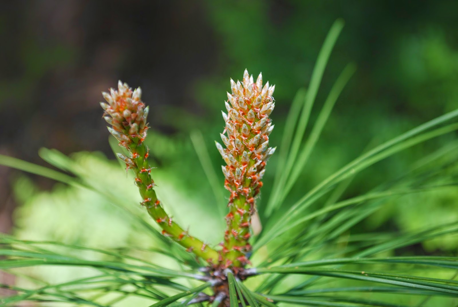
If you like the pictures, check out the Easy Hike to Head of Jack Creek YouTube video I made. This area was part of the B&B Fire back in 2003. You'll see some burned trees in some of the pictures.
BodyMedia Screen Shots and MapMyHike
I couldn't get the BodyMedia workout tab fired up because we had no Internet access at the trailhead. I find it highly annoying that I need Internet access in order to use the workout tab. The dip in the middle of the screen shot below is when we stopped at the Head of the Jack. I was able to get MapMyHike to save the hike even though we didn't have Internet access. MapMyHike has a feature where you can pause the hike. Once we got to the car, I paused the hike and waited until we had Internet. I love MapMyHike again! I need to use the pause feature when we stop for breaks. I won't do it when we stop for pictures or quick water breaks since that would be annoying, but we stopped for several minutes and just hung out. It really messed up my second mile splits. Oh well. Live and Learn! I do not believe the calorie burn on MapMyHike for this hike. There's no way I burned that many calories. According to BodyMedia, it was about 800 calories. I believe that one.


No comments:
Post a Comment