

Patjens Lakes
This was a bit of an interesting place. There is this gigantic lake called Big Lake. It has a beautiful view of Mount Washington, but there's a six mile hike to go see three much smaller lakes way back behind this lake. It's a bit odd if you ask me.

How to get there
Take HWY 20 west of Sisters. Turn left at the Hoodoo Ski Area sign. Follow this road until you get to the trailhead up on the right. It's about four miles down.
The Hike
In our book, this hike was labeled as an Easy 6 mile hike with 400 feet of elevation. While it's true that the low point to the high point of this hike is indeed only about 400 feet, tagging it as Easy with 400 feet of elevation is a bit misleading. As you can see from the elevation grid towards the bottom, you do that 400 feet a couple times and the terrain is very soft and sandy for the bulk of the hike which makes it more challenging. While this hike could be considered easy for those who are in shape, this is not an easy hike for people who are not in shape. |
| The second of the Patjens Lakes |
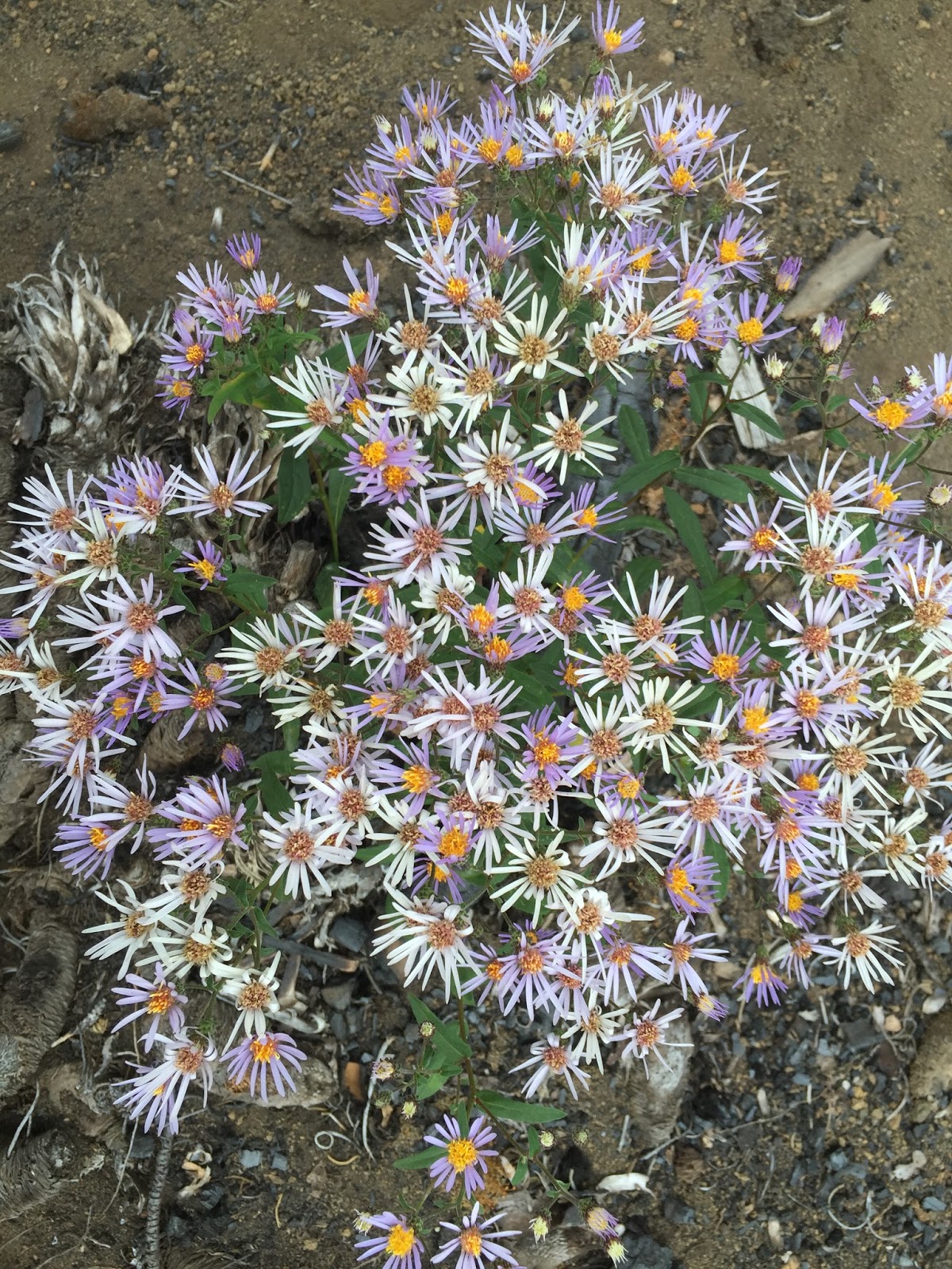
The hike starts off going downhill. The path is fairly narrow and the terrain is fairly sandy. We were quite surprised by the amount of wild flowers that we saw. The book did not label this as a wildflower hike and didn't really mention the flowers at all. We just thought we were going there to see a few lakes. The downhill at this point is pretty gradual so this hike started out pretty great.
 |
| The third of the Patjens Lakes all dried up |
After awhile, we started going uphill. The book labeled it as a gradual incline, but we felt that it was pretty steep for us. We kept going up and up and up. We got some pretty pictures of Hoodoo and Hayrick Butte. We were still at the beginning of the hike at this point really, so we weren't too tired yet, but we were ready to get off of that hill! Eventually, we started to go down again and we were sooooooo happy. There were some nice shots of the Sisters Mountains coming down the other side of this giant hill we had just climbed over.

Eventually, we came upon what we thought was the first of the Patjens Lakes, but it turned out not to be one of them. As we kept going on the sandy miserable terrain, we did come upon the first lake. It was so overgrown around it that we couldn't actually get to the lake. The second one had a path to get down to it easily, so I went down there and took some pictures. The third lake had completely dried up. We went in a drought year in 2015. I'm not sure if that's why it had dried up or if it just happens every year with this particular lake like how Fish Lake dries up.

According to the book, we should have run into Big Lake about 1.5 miles after the last of the Patjens Lakes, but it was closer to two miles according to our GPS watches. The terrain was more sandy loose ash. It was horrible. We ended up going back uphill as well. We were pretty exhausted at this point. The backside of the first big hill was pretty shaded and it was nice and pretty, but this section was mostly dead looking without a lot of cover from the sun. We were hot and tired and just wanted to reach Big Lake.

Once we got to the lake, we went left to head back to the car. At the fork, we went right to go through the campground to make it a little bit shorter. We thought it was only just over half a mile to the car once we hit Big Lake, but it turned out to be closer to a mile. We also thought it was going to be relatively flat around the lake, but we were wrong. We were going up and down and up and down. It wasn't very steep, but we were beat and ready to be done. Also, we were running out of time for our 2:30 appointment in the valley. The took a bit longer than we expected it to take. It was a good thing we had gotten protein bars since we were destined to miss lunch yet again.

Overall Thoughts
If we were in better shape and had more time to do this hike, we would have enjoyed it more, but Big Lake was a much better photo op than the Patjens Lakes. I would return to take pictures of Big Lake when Mount Washington has snow on it, but I have no need to see the Patjens lakes again. Maybe it would be a nice spot to go swimming away from the more popular Big Lake, but it's a long walk to avoid a crown. I feel like they could have made a more direct route to these lakes. However, we did get a lot of pretty flower pictures which was unexpected.

Restrooms
The campground had vault toilet restrooms.
Polar M400 Screen Shots


Gaia GPS Screen Shot
Here is the elevation chart from Gaia GPS and my iPhone 6 Plus. You can clearly see the downhill, uphill, downhill, uphill. You can't really see all the smaller ups and downs along the way, but they were there.

No comments:
Post a Comment